
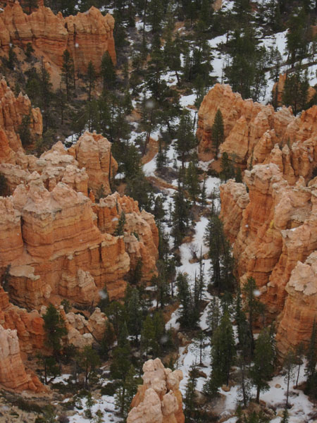
The next morning I headed over to Bryce.
An hour and a half drive northeast and at an elevation of 8500 ft, it was snowing by the time I got there.
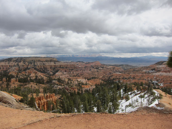

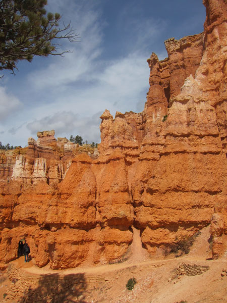
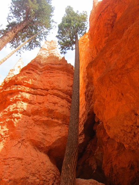
Here I did the Queen Garden Trail and Navajo Loop (4 mi round trip, 600 ft. elevation change, 2 hours with lunch). The Wall Street portion of the trail was closed because of falling rocks.
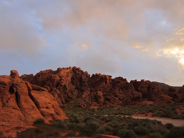
Then I drove 3.5 hours back west to stay in Valley of Fire, Nevada.
REASONS TO NOT CAMP THERE AND DRIVE THE EXTRA 20 MILES TO VEGAS
1. its 18 miles to the nearest highway/building
2. no cell reception
3. the crazy looking rocks were formed by strong strong winds. which will rip your tent out of the ground and send you running to your car.
4. when you realize you have left your tent out in the site without your body weight to hold it down, you will have to leave said car in the middle of the night (during a thunderstorm. in the dark) to find your tent and rescue it back to your car.
5. the rocks at this point will look like they’re screaming at you
6. you won’t be able to sleep comfortably in the backseat of your corolla
7. finally, when you awake at 6:30am, all you’ll see is bright gray ominous clouds and empty campsite around you. and having had enough of this crap, you’ll tiredly drive out of the campsite as fast as you can.
- At time of posting in Kanab, Utah, it was 39.2 °F -
Humidity: n/a | Wind Speed: n/a | Cloud Cover: n/a


Recent Comments